

by Chlo’e Maluleke
Picture this. You order a new pair of sneakers online. They’re made in Vietnam, stitched together with thread from Bangladesh, and boxed up with cardboard from China. Before they land on your doorstep, those shoes will almost certainly pass through one of a handful of narrow stretches of water. These corridors are so critical that if they closed tomorrow, the global economy would feel it by next week and you would not get your sneakers. Exhibit A, The Strait of Hormuz.
These waterways are the world’s strategic passages in the ocean, and they are arguably the most important real estate on the planet.
Straits, Canals, and Channels, What’s the Difference?
Not all waterway choke points are created equal, and the differences matter more than you might think.
A strait is natural. It’s a narrow stretch of water formed by geography, land masses that happen to sit close enough together to funnel ocean traffic between them. Nobody built the Strait of Hormuz. Nobody dug the Strait of Malacca. They exist because the Earth’s tectonic plates had opinions millions of years ago. Under international law, straits used for international navigation are governed by the right of “transit passage”, meaning ships from any nation can move through them freely, even in peacetime. The bordering countries don’t own the water, even if they’d sometimes like to believe as though they do.
A canal, on the other hand, is entirely man-made. The Suez Canal, the Panama Canal, these were engineered, financed, and built by human ambition (and, historically, enormous amounts of forced and underpaid labour). Because canals are built on sovereign territory, the country that owns the land controls the waterway far more directly. They set the fees, the schedules, the rules. They can close it. They can expand it and they can use it as a political lever in ways that a bordering state in a natural strait legally cannot.
A channel is a broader term, it can be natural or artificially deepened, and often refers to navigable passages along coastlines or between islands. The Mozambique Channel, running between the African mainland and Madagascar, is a natural deep-water channel that has become increasingly important as Indian Ocean trade routes evolve.
Understanding these distinctions helps explain why certain waterways create more geopolitical drama than others and why some are flashpoints while others quietly do their work without much fuss.
The Straits That Run the World
The Strait of Hormuz is the one that makes oil markets nervous. Sitting between Oman and Iran, this passage, just 33 kilometres at its tightest point, handles roughly 20% of the world’s oil supply. Every tanker heading out of the Persian Gulf passes through here. Saudi oil, Kuwaiti oil, UAE oil, all of it squeezing through that one little bottleneck. When tensions flare in the region (and they do, regularly, especially recently), oil markets twitch like they’ve had too much coffee. Iran has repeatedly threatened to close it. It hasn’t, largely because that would also cripple its own oil exports, but the threat alone is enough to move prices.
The Strait of Malacca, threading between Malaysia, Singapore and Indonesia, is the artery of Asian trade. About 40% of global commerce passes through it annually, including the bulk of the world’s electronics, clothing, and consumer goods. Singapore sits right at its mouth, which is no small reason why that tiny city-state punches so far above its economic weight. It is one of the busiest and most strategically vital passages on earth and it is also increasingly crowded, shallow in places, and vulnerable to piracy.
The Bab-el-Mandeb connects the Red Sea to the Gulf of Aden, feeding directly into the Suez Canal route that links Asia to Europe. Its name in Arabic means “Gate of Tears” a poetic name for a passage that has lived up to it. When Houthi attacks on vessels in the Red Sea escalated in late 2023 and into 2024, shipping companies rerouted entire fleets away from this corridor. The ripple effects were felt in freight rates worldwide.
The Strait of Gibraltar is the western gateway to the Mediterranean. Just 14 kilometres wide at its narrowest, it separates Europe from Africa – Spain from Morocco – and connects the Atlantic Ocean to the Mediterranean Sea. Enormous volumes of trade pass through it daily, and it has historically been one of the most contested passages in the world. The British have held the Rock of Gibraltar for over 300 years, which tells you something about how seriously maritime powers take these doorways.
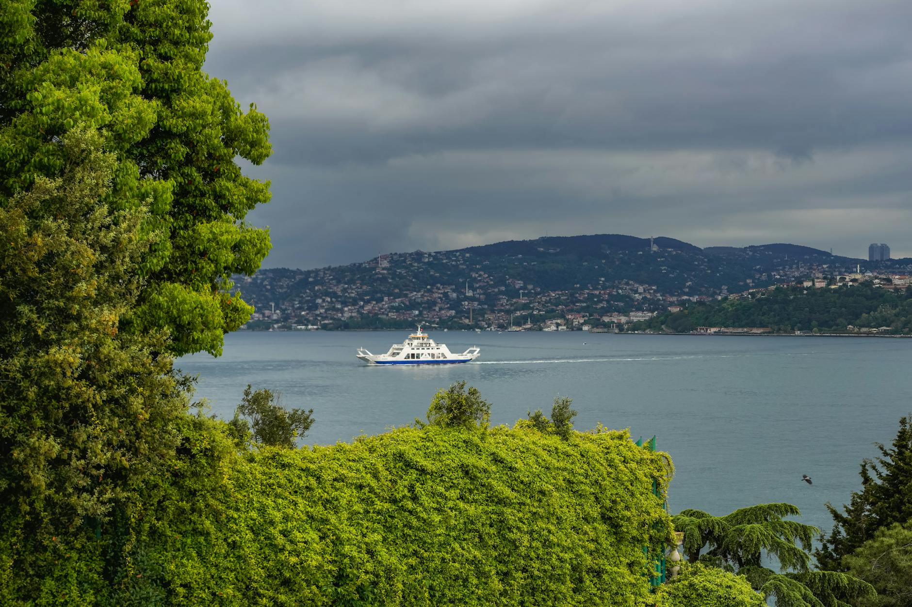
The Turkish Straits are the Bosphorus and the Dardanelles. They run straight through Istanbul, making Turkey the gatekeeper between the Black Sea and the Mediterranean. This gives Ankara enormous strategic leverage, formalised under the 1936 Montreux Convention, which gives Turkey the right to restrict military vessel access during wartime. When Russia invaded Ukraine in 2022, Turkey’s control of the Bosphorus became front-page news almost overnight.
The Lombok and Sunda Straits are Indonesia’s lesser-known but critically important passages. As an alternative to the Strait of Malacca for vessels too large or seeking to avoid congestion, these Indonesian straits are growing in significance and quietly expanding Indonesia’s maritime bargaining power in the region.
The Canals: Engineered Power

Serene view of cargo ships navigating the Suez Canal with mountains in the background: Pexels photo
The Suez Canal is the great shortcut of modern trade. Opened in 1869 and cutting through Egypt between the Mediterranean and the Red Sea, it saves ships the 7,000-kilometre detour around the Cape of Good Hope. Roughly 12–15% of global trade passes through it in a normal year, including a substantial portion of Europe’s energy supply. Egypt earns billions annually in transit fees, making the canal not just a trade route but a national revenue stream.
The world got a sharp reminder of how much it depends on the Suez Canal in March 2021, when the container ship Ever Given ran aground and blocked it for six days. An estimated $9 billion worth of goods was stuck in traffic daily. Six days. That’s all it took.
The Panama Canal does for the Americas what Suez does for the Asia-Europe corridor. Connecting the Atlantic and Pacific Oceans through a series of locks, it saves ships from having to navigate around the treacherous Cape Horn at South America’s southern tip. Completed in 1914 and now operated by the Panama Canal Authority, it has recently faced a different kind of crisis: drought. In 2023, critically low water levels forced the canal to restrict ship crossings, a reminder that even engineered infrastructure is not immune to the effects of climate change.
The key difference between canals and natural straits, beyond the legal dimension, is this: canals can be improved, expanded, and managed. Egypt spent years widening the Suez Canal to accommodate more simultaneous traffic. Panama built a third set of locks to handle larger vessels. Natural straits, however, are fixed. You cannot widen Hormuz. You cannot deepen the Bosphorus. What geography gave, geography keeps.
So Who’s Actually in Charge?
Here’s where it gets juicy and slightly complicated.
International law, specifically the UN Convention on the Law of the Sea (UNCLOS), says ships of all nations have the right of transit passage through international straits. In theory, no single country can simply block a natural waterway. In practice? It’s messier.
Countries bordering straits hold enormous informal power. China has spent years building military infrastructure across islands and reefs in the South China Sea, near key shipping lanes, a move that keeps maritime lawyers and defence analysts perpetually employed. The goal, many analysts argue, is to establish effective control over routes that international law says should remain open to all.
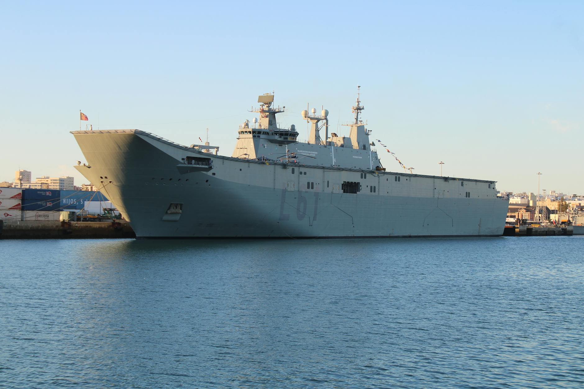
The United States maintains naval presence across most of these corridors through its fleet of aircraft carrier groups. One of the quiet, rarely-discussed pillars of American global power is its ability to keep sea lanes open or, theoretically, to close them to adversaries. Much of Washington’s Pacific strategy is fundamentally about who controls maritime choke points.
And then there are the port operators, companies like DP World (Dubai), Maersk (Denmark), and MSC (Switzerland), who manage terminals across multiple continents. They don’t just move boxes. They shape routing decisions, infrastructure investments, and increasingly, geopolitical relationships. When DP World wins a port concession in Djibouti or Mozambique, it’s not just a business deal. It’s a footprint. A presence. And in maritime strategy, presence is everything.
Africa’s Moment in This Story
Africa is not a bystander in all of this. The continent sits at the intersection of some of the world’s most critical maritime geography and that geography is, right now, being reappraised by the global shipping industry.
The Mozambique Channel is a deep-water passage running between the African continent and Madagascar, carrying Indian Ocean traffic along Africa’s eastern flank. It is also flanked by countries like Mozambique, Tanzania, Comoros, Madagascar, that are still building the port infrastructure to capture real economic value from the traffic passing their shores.
The Cape of Good Hope, long seen as the inconvenient alternative to Suez, showed its true value when the Red Sea crisis hit. When Houthi attacks made the Bab-el-Mandeb too risky, ships rerouted south and suddenly South African ports were back in the global conversation. Durban, Cape Town, and Walvis Bay found themselves handling increased calls from vessels that would never normally have stopped. That is a signal worth taking seriously.
West Africa’s Atlantic coast feeds into the broader South Atlantic trade corridor, connecting to both North America and South America in ways that are still underappreciated in mainstream maritime discourse.
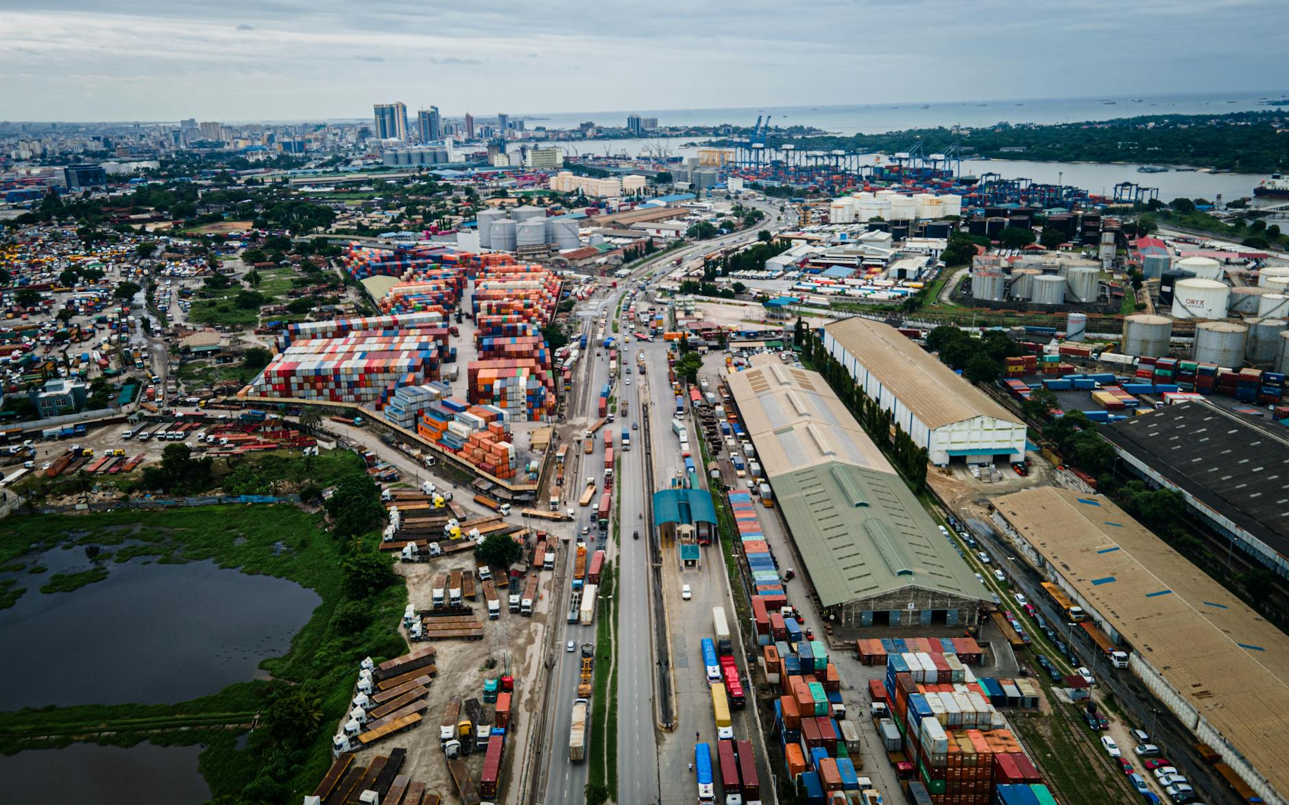
What Africa has not always done well, for complex historical, political, and infrastructure reasons, is position itself as an active participant in the governance of these corridors. The decisions about which ships go where, which ports get investment, which routes become standard, these conversations happen in boardrooms in Dubai, Copenhagen, and Geneva, and in policy forums where African voices have historically been underrepresented.
The Bigger Picture
Strategic waterways are, at their core, about leverage. Whoever controls or influences the corridors through which goods move holds power that no boardroom negotiation can easily replicate. That is why empires were built around them. Why wars have been fought over them. Why military strategists, shipping executives, and heads of state all watch the same narrow passages with the same intensity.
The choke points of today are not going away. If anything, as global trade volumes grow, as climate change alters shipping routes (opening Arctic passages, threatening canal water levels), and as geopolitical rivalries sharpen, these corridors will only become more contested and more consequential.
For Africa, the opportunity is clear: the continent is not peripheral to these systems. It is, in several important ways, central to them. The question worth asking loudly, repeatedly, and in every relevant forum, is not just who moves goods through Africa’s waters. But who decides. Who benefits. And whether the countries whose shores frame these critical passages are shaping that future, or simply watching it sail by.
That, perhaps more than any individual strait or canal, is the most important maritime story of our time.